West Dumfries & Galloway Cycle Map 36

West Dumfries & Galloway Cycle Map 36 Including Lochs and Glens South and 3 Individual Day Rides

Paperback (01 May 2016)

Not available for sale

Includes delivery to the United States

Out of stock

This service is protected by reCAPTCHA and the Google Privacy Policy and Terms of Service apply.

Publisher's Synopsis

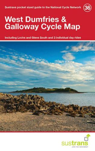
This is in the series of official pocket sized, folded maps to the National Cycle Network which include clearly mapped on-road and traffic-free paths, easy to read contours and detailed town insets. The series is published by Sustrans. 1:110,000 scale; folded 155mm x 99mm; flat 792mm x 630mm.

Book information

ISBN: 9781910845165
Publisher: Sustrans
Imprint: Sustrans
Pub date:
Weight: 50g
Height: 99mm
Width: 88mm
Spine width: 5mm