Publisher's Synopsis
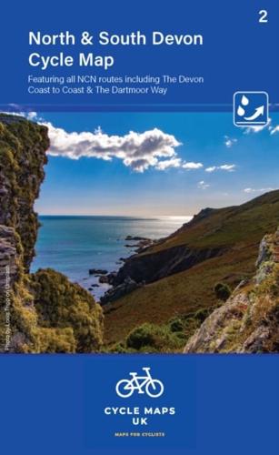
Map 2 covers North and South Devon, including Dartmoor and the western part of Exmoor National Parks. The Devon coast to Coast route from Ilfracombe to Plymouth is fully covered. The maps are all produced at a scale of 1:100 000 showing important features including the National cycle Network. Sections on road, off road and traffic free are all shown in differing colours along with their route number. Other roads and their classification are shown enabling you to link rides or explore sections and discover new routes at home or further afield. Facilities such as toilets, pubs, accommodation, bike shops, repair stations and railway stations are all shown. The mapping also has relief shading giving you a clear picture of the terrain (and steepness of any hills) you will encounter. Scale: 1:100 000 (10mm = 1 Km, 16mm = 1 Mile) Folded size: 163mm x 105mm Unfolded: 650mm x 800mm Tear and water-resistant paper Double sided