Publisher's Synopsis
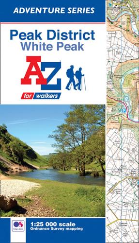
The A-Z Adventure Series of maps combines the best of OS and A-Z, creating the perfect companion for walkers, off-road cyclists, horse riders and anyone wishing to explore the great outdoors.The Peak District is a National Park in central England, a popular hiking destination known for its moorland and gritstone escarpments found in the north (Dark Peak area) and limestone gorges and rounded hills in the south (White Peak area).This A-Z Adventure Atlas of the Peak District White Peak features 68 pages of continuous Ordnance Survey 1:25 000 mapping covering:•Peak District National Park (southern area)•Hope Valley•Castleton•Bakewell•Buxton•Dove Dale•Monsal Dale•Lyme Park•EyamUnlike the original OS sheets, this A-Z Adventure Atlas includes a comprehensive index to towns, villages, hamlets and locations, natural features, nature reserves, car parks and youth hostels, making it easy to find the required location quickly. Each index entry has a page reference and a six figure National Grid Reference. With a book size of 240mm x 134mm it is the same size as the standard folded OS map.Also included is safety and security advice when walking and a selection of QR codes to access useful websites with your smartphone.Other National Parks available within the A-Z Adventure series include: Brecon Beacons, Dartmoor, Exmoor, Lake District, New Forest, North York Moors.Also available: A-Z Adventure Atlas of the Peak District, Dark Peak.