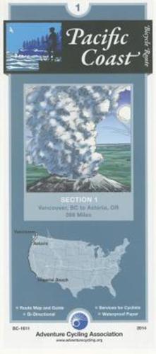
Publisher's Synopsis
Vancouver is a relatively easy city in which to bicycle. Then after crossing the border into Washington, you'll be riding on narrow two-lane roads on level terrain. There are no shoulders, and traffic is light. Bellingham is a larger town with moderate traffic and some congested intersections. SR-20 south of Anacortes and Whidbey Island has some rolling to hilly terrain. There are several narrow two-lane sections and congested areas near the island's towns; traffic is generally light away from SR 20.
Adventure Cycling maps are created by cyclists, for cyclists, and they are some of the best available for those in search of discovery and adventure in North America. The maps reflect the association's research as well as suggestions from thousands of cyclists who have explored the Adventure Cycling Route Network. Adventure Cycling develops the best cross-country, loop, coastal, and inland cycling routes available, with turn-by-turn directions, detailed navigational instructions for the tricky sections, and elevation profiles in the high country. The maps are waterproof and designed to fit in a handlebar-bag window or jersey pocket. The maps provide information specifically for cyclists: the location of bike shops, sources for food and water, and listings of overnight accommodations including camping facilities, small hotels, and cyclists-only lodging.