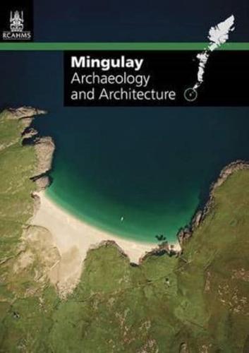
Publisher's Synopsis
The island of Mingulay lies at near the southern tip of the Western Isles archipelago, its fertile valleys and rugged coastline of cliffs and sea stacks a spectacular setting for a wealth of important archaeology. Up to the fifteenth century Mingulay was part of the estate of the Bishop of the Isles, and then passed into the hands of the MacNeils of Barra. Deserted in the early 1900s, since the 1920s archaeologists have been recording the island's buildings and prehistoric remains. Combining previous surveys with the results of a new project undertaken by the Royal Commission on the Ancient and Historical Monuments of Scotland and the National Trust for Scotland, this fold-out information guide is the indispensable record of the archaeological landscapes and architectural relics of the island. A highly detailed map identifies the locations of everything from burial cairns and roundhouses to chapels and schools, and explanatory text illustrated by survey drawings and contemporary and historic photography traces the lives of the people who made this remote island their home.