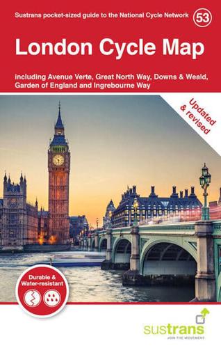
Publisher's Synopsis
The National Cycle Network is a great way to explore and discover London. Taking you along the Thames, past tourist attractions and through parks, cycling and walking are wonderful ways to slow the pace and get to know this city. This revised map of London is in the series of pocket sized, folded maps to the National Cycle Network which include clearly mapped on-road and traffic-free paths, easy to read contours and detailed town insets. Published by Sustrans. 1:110,000 scale; folded 155mm x 99mm; flat 792mm x 130mm. The London Cycle Map includes Avenue Verte, Great North Way, Downs & Weald, Garden of England and Ingrebourne Way, and is now printed on durable, waterproof paper.