Publisher's Synopsis
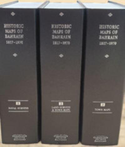
In celebration of the 25 years of Bahrain independence in 1971, Archive Editions presents an impressive collection of previously scattered historic maps and charts of Bahrain island and the surrounding territories. This collection comprises 69 surveys, charts and plans of Bahrain, many in colour, including the complete island and surrounding waters and islands. The publication makes valuable maps available which were previously unknown or inaccessible and is particularly important because of its diversity of sources including some private collections. It begins in 1817 with the first ever mention of Muharraq City on a map and finishes in 1970 with the last maps made before independence. It includes the first ever town plans of Manama and Muharraq to be compiled by the Government of Bahrain, and the first ever accurate land survey of the Hawar islands. There is also a detailed commentary on each map in a separate booklet.