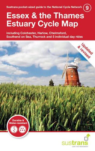
Publisher's Synopsis
Stretching from the outskirts of the urban hub of London in the county's south west corner to the thatched timber cottages of the villages and hamlets of Dedham Vale and the Stour Valley on the suffolk border, Essex's gently rolling landscape is a place of contrasts. This is in the series of pocket sized, folded maps to the National Cycle Network which include clearly mapped on-road and traffic-free paths, easy to read contours and detailed town insets. The series is published by Sustrans. 1:110,000 scale; folded 155mm x 99mm; flat 792mm x 630mm. The revised Essex & Thames Estuary Cycle Map - including Colchester, Harlow, Chelmsford, Southend on Sea, Thurrock and 5 individual day rides - has now been revised and is printed on waterproof paper.