Publisher's Synopsis
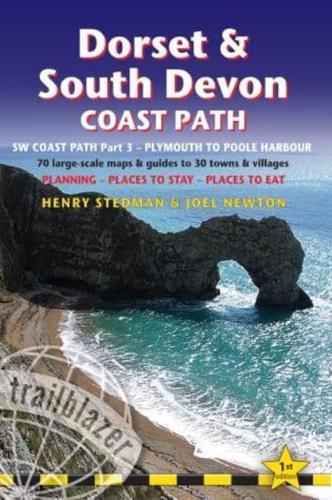
This new guide covers the third and last section of the South West Coast Path, from Plymouth to Poole Harbour (203 miles). This beautiful route includes 95 miles within England's only Natural World Heritage Site, the Jurassic Coast, and passes dramatic cliffs and headlands, Chesil Bank's impressive spit and Lulworth Cove, winding through idyllic seaside villages such as Beer and Lyme Regis. · 70 maps - 10 town plans and 60 large-scale walking maps - at just under 1:20,000 - with unique mapping features: walking times, directions, tricky junctions, places to stay and eat, points of interest. These are not general-purpose maps but fully-edited maps drawn by walkers for walkers. · Itineraries for all walkers - whether walking the route in its entirety or sampling the highlights on day walks and short breaks · Practical information for all budgets - Where to stay (campsites, hostels, B&Bs, pubs and hotels), where to eat, what to see · Comprehensive public transport information for day walks - all access points on the path · Downloadable gps waypoints · Co-authored by Henry Stedman & Joel Newton. Henry Stedman is the author of bestselling Trailblazer guides to Kilimanjaro, the Coast to Coast Path and Hadrian's Wall Path


