Publisher's Synopsis
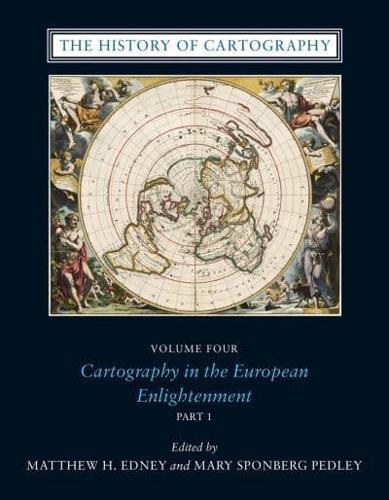
Since its launch in 1987, the History of Cartography series has garnered critical acclaim and sparked a new generation of interdisciplinary scholarship. Cartography in the European Enlightenment, the highly anticipated fourth volume, offers a comprehensive overview of the cartographic practices of Europeans, Russians, and the Ottomans, both at home and in overseas territories, from 1650 to 1800.
The social and intellectual changes that swept Enlightenment Europe also transformed many of its mapmaking practices. A new emphasis on geometric principles gave rise to improved tools for measuring and mapping the world, even as large-scale cartographic projects became possible under the aegis of powerful states. Yet older mapping practices persisted: Enlightenment cartography encompassed a wide variety of processes for making, circulating, and using maps of different types. The volume's more than four hundred encyclopedic articles explore the era's mapping, covering topics both detailed-such as geodetic surveying, thematic mapping, and map collecting-and broad, such as women and cartography, cartography and the economy, and the art and design of maps. Copious bibliographical references and nearly one thousand full-color illustrations complement the detailed entries.
The social and intellectual changes that swept Enlightenment Europe also transformed many of its mapmaking practices. A new emphasis on geometric principles gave rise to improved tools for measuring and mapping the world, even as large-scale cartographic projects became possible under the aegis of powerful states. Yet older mapping practices persisted: Enlightenment cartography encompassed a wide variety of processes for making, circulating, and using maps of different types. The volume's more than four hundred encyclopedic articles explore the era's mapping, covering topics both detailed-such as geodetic surveying, thematic mapping, and map collecting-and broad, such as women and cartography, cartography and the economy, and the art and design of maps. Copious bibliographical references and nearly one thousand full-color illustrations complement the detailed entries.