Publisher's Synopsis
These extraordinary views and analyses of historic battles use modern satellite images alongside specially commissioned maps.
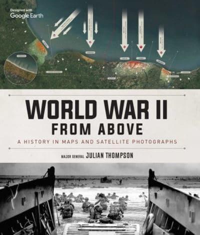
World War II from Above pairs modern satellite photographs with expertly illustrated historical battle maps. These captivating images bring the war vividly and dramatically to life by showing the actual landscapes where battles took place alongside annotations depicting troop movements, heroic last stands, and other notable events. Here you will find all the key milestones of World War II: the invasion of France, Germany's first blitzkrieg offensives, the Battle of El Alamein, the invasion of Sicily, the Battle of the Bulge, Iwo Jima, the D-Day landings, and the final push to Berlin, along with a host of other strategic and battle maps from every geographical location.