Wirral A-Z Street Atlas

Wirral A-Z Street Atlas

New Sixth edition

Paperback (10 Sep 2015)

Not available for sale

Includes delivery to the United States

Out of stock

This service is protected by reCAPTCHA and the Google Privacy Policy and Terms of Service apply.

Publisher's Synopsis

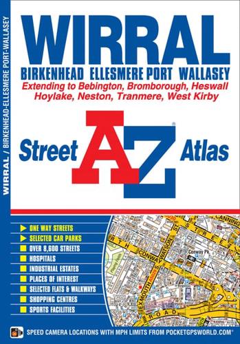
This A-Z Map of theWirral features 47 street map pages covering:•New Brighton•Kirkdale•Central Liverpool•New Ferry•Eastham•Ellesmere Port•Neston•Heswall•Caldy•West Kirby•Hoylake•Leasowe•WallaseyPostcode districts, one-way streets and safety camera locations with maximum speeds are featured on the maps.The index section lists streets, selected flats, walkways and places of interest, place, area and station names, hospitals and hospices covered by this map.

Book information

ISBN: 9781782570950
Publisher: HarperCollins Publishers
Imprint: Geographers' A-Z Map Co Ltd
Pub date:
Edition: New Sixth edition
Language: English
Number of pages: 80
Weight: 134g
Height: 149mm
Width: 213mm
Spine width: 4mm