
Publisher's Synopsis
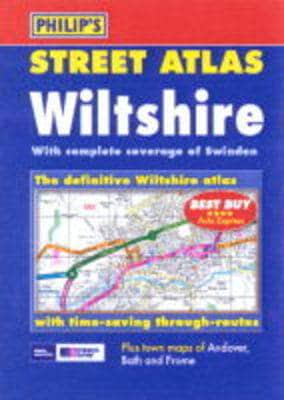
A brand new colour atlas of Wiltshire, giving the only comprehensive, detailed coverage of the region. No other atlas shows every street in Wiltshire.The mapping is sourced from Ordnance Survey and gives the user complete coverage of all urban and rural areas. The mapping is at a standard scale of 3 inches to 1 mile (2 inches to 1 mile in the pocket edition) and is complete with postcode boundaries.The atlas is ideally suited for both business and leisure use. There is a route-planning map at the front of the atlas. The main maps show every named road, street and lane clearly with through-routes highlighted. School locations are marked and emergency services, hospitals, police stations, car parks and rail and bus station locations are all featured. There are extra town plans of Andover, Bath and Frome. There is a comprehensive index of street names and postcodes including schools, industrial estates, hospitals, sports centres, etc. These are highlighted in red.Main map scale: 3 inches to 1 mile


