Weymouth and Dorchester A-Z Street Atlas

Weymouth and Dorchester A-Z Street Atlas

New Sixth edition

Paperback (13 May 2015)

Not available for sale

Includes delivery to the United States

Out of stock

This service is protected by reCAPTCHA and the Google Privacy Policy and Terms of Service apply.

Publisher's Synopsis

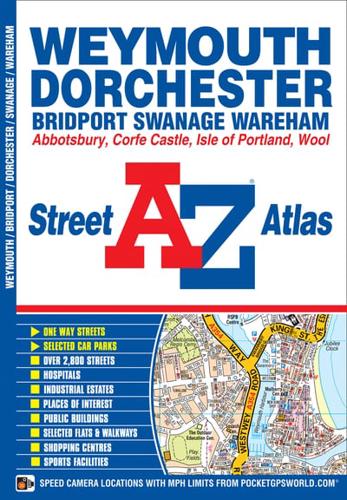
This A-Z map of Weymouth and Dorchester features 38 pages of coloured street mapping covering:•Bridport•Abbotsbury•Charminster•Broadmayne•Broadwey•Preston•Isle of Portland•Crossways•Wool•Wareham•Corfe Castle•SwanagePostcode districts, one-way streets and safety camera locations with maximum speeds are featured on the street mapping.The index section lists streets, selected flats, walkways and places of interest, place, area and station names, hospitals and hospices covered by this atlas.

Book information

ISBN: 9781782570677
Publisher: HarperCollins Publishers
Imprint: Geographers' A-Z Map Co Ltd
Pub date:
Edition: New Sixth edition
Language: English
Number of pages: 52
Weight: 94g
Height: 150mm
Width: 217mm
Spine width: 9mm