
Publisher's Synopsis
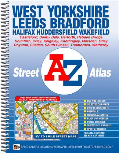
This A-Z map of West Yorkshire is a full colour, spiral bound street atlas featuring 172 pages of continuous mapping covering:•Leeds•Bradford•Halifax•Huddersfield•Wakefield•Dewsbury•Castleford•Ilkley•Wetherby•Knottingley•Holmfirth•Todmorton•Hebden BridgeThere are large scale city and town centre maps of Leeds, Bradford, Halifax, Huddersfield and Wakefield.Postcode districts, one-way streets, safety camera locations with their maximum speed limit are featured on the mapping.The index section lists streets, selected flats, walkways and places of interest, place, area and station names. There is a separate list of hospitals, hospices and NHS Walk-in Centres covered by this atlas.


