Delivery included to the United States

West Midlands A-Z Street Atlas (Spiral)

West Midlands A-Z Street Atlas (Spiral)

New Fifth edition

Spiral / Comb Bound (11 Sep 2015)

Not available for sale

Out of stock

This service is protected by reCAPTCHA and the Google Privacy Policy and Terms of Service apply.

Publisher's Synopsis

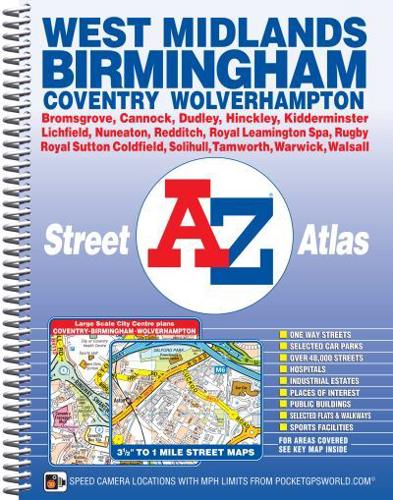
This spiral bound map of Birmingham and the West Midlands includes coverage of:•Birmingham•Coventry•Dudley•Solihull•Stourbridge•Walsall•WolverhamptonThe atlas includes 222 street map pages which extends to include:•Cannock•Lichfield•Tamworth•Atherstone•Nuneaton•Hinckley•Rugby•Royal Leamington Spa•Warwick•Kenilworth•Redditch•Bromsgrove•KidderminsterAlso included are large scale city centre maps of Birmingham, Coventry and Wolverhampton and a West Midlands rail and Midland Metro transport connections map.Postcode districts, one-way streets and safety camera locations with maximum speeds are featured on the street mapping.The index section lists streets; selected flats, walkways and places of interest; place and area names; National Rail and Midland Metro stations. There is a separate list of hospitals, NHS Walk-in Centres and hospices covered by this map.

About the Publisher

Geographers' A-Z Map Co Ltd

Started in 1936 as Geographers' Map Company Ltd, we are now the largest independent map publishing company in the UK, producing iconic products such as the London A-Z. We produce over 340 mapping products and employ 80 staff, many of whom joined from school, and have been with the Company for over 25 years. Our founder, Phyllis Pearsall MBE, gave us a motto- "ON WE GO" and as a team we can, and will, do just that, providing high quality mapping products and priding ourselves on customer satisfaction.

Book information

ISBN: 9781782570943
Publisher: HarperCollins Publishers
Imprint: Geographers' A-Z Map Co Ltd
Pub date:
Edition: New Fifth edition
Language: English
Number of pages: 320
Weight: 776g
Height: 256mm
Width: 201mm
Spine width: 23mm