
Publisher's Synopsis
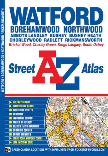
This A-Z map ofWatford, Borehamwood, Bushey, Rickmansworth and Radlett features 31 street map pages extending to:•Chorleywood•Chandler's Cross•Hunton Bridge•Kings Langley (part)•Abbots Langley•Bricket Wood•Colney Street•M1 London Gateway Service Area•Elstree•South Oxhey•Northwood (part)Also included is a large scale town centre map of Watford.Postcode districts, one-way streets, safety camera locations with speed limits and the Greater London Low Emission Zone boundary are featured on the maps.The index section lists streets; selected flats, walkways and places of interest; junction, place and area names; National Rail, Underground and Overground stations; hospitals and hospices covered by this atlas.


