
Publisher's Synopsis
AA Road Maps Britain offer Britain's clearest mapping in a practical, slimline format with durable, plastic encapsulated covers
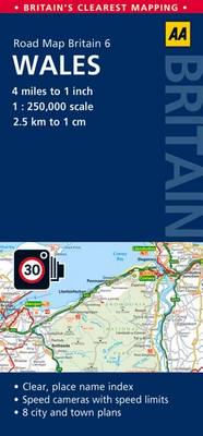
Fully updated, these maps combine clear design and an easy-to-read scale with more road detail to ensure that you never lose your way. Each map includes information on toll points, service areas, road numbers, motorways, dual carriageways, and wide and narrow local roads. National Parks and places of interest are also highlighted. National Trust, English Heritage, Scottish and Welsh Heritage sites are shown, and caravan & camping sites are pinpointed on the mapping. All except the Britain map have fully updated speed camera locations, plus speed cameras with speed limits shown. The maps offer city and town plans and easy-to-read place name indexes. Scale is 4 miles to 1 inch (1:250,000).
Fully updated, these maps combine clear design and an easy-to-read scale with more road detail to ensure that you never lose your way. Each map includes information on toll points, service areas, road numbers, motorways, dual carriageways, and wide and narrow local roads. National Parks and places of interest are also highlighted. National Trust, English Heritage, Scottish and Welsh Heritage sites are shown, and caravan & camping sites are pinpointed on the mapping. All except the Britain map have fully updated speed camera locations, plus speed cameras with speed limits shown. The maps offer city and town plans and easy-to-read place name indexes. Scale is 4 miles to 1 inch (1:250,000).


