Publisher's Synopsis
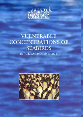
This analysis provides the first assessment of its kind for the area. The maps can be used to identify those areas supporting seabird concentrations at greatest risk to the threat of surface pollution. The ongoing survey work aims to improve the coverage of Falklands Islands waters and present a more complete picture of the distribution of vulnerable concentrations of seabirds in Falkland Island waters.
