
Publisher's Synopsis
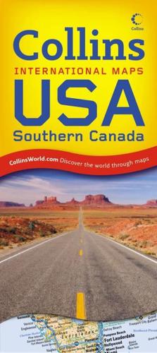
Fullly revised and updated politically coloured road map of all of the USA and Southern Canada. The ideal map for planning and route-finding.Scale 1:5 000 000 (1 cm to 50 kms/1 inch to 80 miles)MAIN FEATURESDetailed route planning map with classified road network featuring individual states depicted in attractive political colouring.AREA OF COVERAGEAll of USA extending from the Atlantic coast to the Pacific coast and including Southern Canada in the north and Northern Mexico, The Bahamas and Northern Cuba in the south. Includes inset maps of Alaska, Hawaii and Puerto Rico.INCLUDESUseful features include detailed city maps of New York, Washington, Boston, San Francisco, Los Angeles, New Orleans, Seattle, Miami, Denver, Las Vegas and Chicago, and distance chart.• Comprehensive place name index to cities and towns on reverse of sheet• Driving information, time zones and internet links to further information complete the content of the map sheet.WHO THE PRODUCT IS AIMED ATThe ideal map for the traveller for both planning and using on a trip. Also useful for home and business reference.


