
Publisher's Synopsis
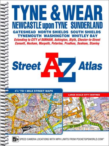
This A-Z map of Tyne and Wear is a full colour, spiral bound street atlas featuring 180 pages of continuous street mapping covering:•Newcastle-upon-Tyne, Sunderland, Durham, Gateshead, North Shields, South Shields and Tynemouth.The east coast from Newbiggin-by-the-Sea in the north to Peterlee in the south including Blyth, Whitley Bay and Seaham.Inland coverage of Morpeth, Ashington, Cramlington, Washington, Chester-le-Street, Consett, Hexham and Newcastle Airport.Also included are large scale city centre maps of Newcastle-upon-Tyne, Sunderland and Durham.Postcode districts, one-way streets, safety camera locations with maximum speed limits and Tyne & Wear Metro stations are featured on the street mapping.The index section of the atlas lists streets, selected flats, walkways and places of interest, place and area names, National Rail stations and Tyne & Wear Metro stations. There is also a separate list of hospitals and hospices covered by the atlas.Also included is a Postcode Map and a Tyne & Wear Metro and Rail Connections map on the inside back cover.


