
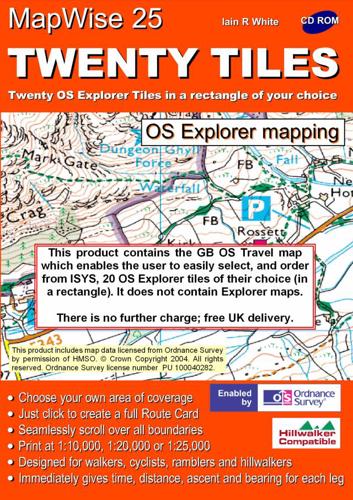
Publisher's Synopsis
This title provides user choice area of 20 grid tiles of 10km X 10km from O.S. 1:25,000 Explorer mapping on a CD. It offers plan routes on all map formats, including the 3D crinkle feature, GPS, print out maps and route cards. Height data and grid location continuous to cursor position. User is able to plan and prepare a route, GPS-easy download/upload. It also gives a presentation of time and schematic profile of the route, and offers a choice of on-screen magnification; easy interchange between all map formats; and topographical overlay. It operates on Windows 95 to XP and MAC with Virtual PC, and no graphics card is required. It offers seamless integration with all relevant ISYS Outdoors Hillwalker and PhotoMaps and MapWise products.


