Publisher's Synopsis
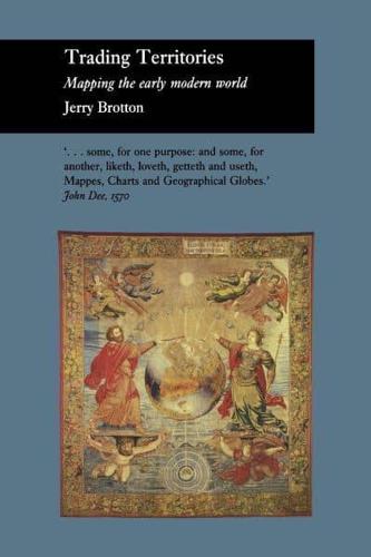
Trading Territories is a beautifully illustrated book that offers a new account of the status of maps and geographical knowledge in the early modern world. Focusing on how early European geographers mapped the territories of the Old World-Africa and Southeast Asia-Jerry Brotton contends that the historical preoccupation with Columbus's "discovery" of the New World in 1492 has tended to obscure the importance of the mapping of territories that have been defined as "eastern."
Brotton situates the rise of early modern mapping within the context of the seaborne commercial adventures of the early maritime empires-the Portuguese, the Spanish, the Ottomans, the Dutch, and the English-and explores the ways in which maps and globes were used to mediate the commercial and diplomatic disputes between these empires. Rather than the development of early maps being shaped by disinterested intellectual pursuits, Trading Territories argues that trade, diplomacy, and financial speculation played the most essential role.
"In this outstanding study of maps and mapping, Jerry Brotton reveals a dynamism in the transaction between East and West beyond anything we have previously appreciated."-Lisa Jardine, Queen Mary, University of London