
Publisher's Synopsis
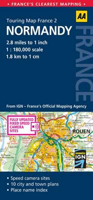
Fully updated, this map combines clear design and an easy-to-read scale with more road detail to ensure that you never lose your way. It includes information on toll points, service areas, road numbers, motorways, dual carriageways, and wide and narrow local roads. National Parks, ski resorts, visitor attractions and towns, and places of interest are also highlighted. The map is presented in a practical slimline format, with a durable weatherproof cover for protection from the elements. 2.8 miles to 1 inch scale.


