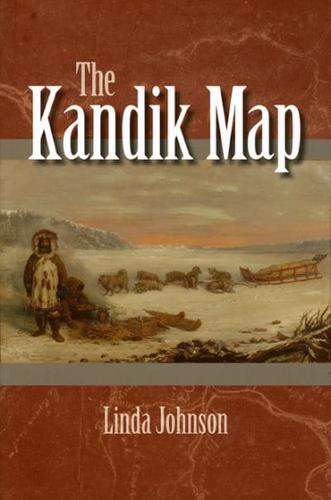
The Kandik Map
Hardback (04 Dec 2009)
Not available for sale
Includes delivery to the United States
Out of stock
Check stock
In 1880, a Native American named Paul Kandik and a French explorer, François Mercier, traveled across northeastern Alaska and western Canada to create the earliest known map of the region. Linda Johnson now delves into the fascinating story behind the Kandik Map, examining the reasons why and how these two men from such different backgrounds combined their extensive knowledge of the country to map the Kandik River region. Drawing on historical letters, geographical analysis, and the original map itself held in the University of California's Bancroft Library, Johnson produces a groundbreaking study on the history of the Kandik Map and reveals its significant implications for Native American scholarship.
Book information
| ISBN: | 9781602230323 |
| Publisher: | University of Alaska Press |
| Imprint: | University of Alaska Press |
| Pub date: | 04 Dec 2009 |
| DEWEY: | 912.7986 |
| DEWEY edition: | 22 |
| Language: | English |
| Number of pages: | 231 |
| Weight: | 510g |
| Height: | 24mm |
| Width: | 16mm |
| Spine width: | 2mm |


