Publisher's Synopsis
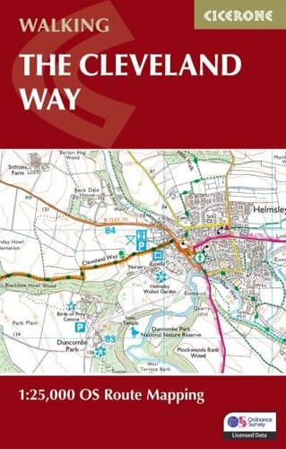
A booklet of all the mapping needed to complete the Cleveland Way National Trail between Helmsley and Filey. Covering 117km (110 miles) around the North York Moors National Park this straightforward hike takes around 1 week to walk.The full route line is shown on 1:25K OS mapsThe map booklet can be used to walk the trail in either directionSized to easily fit in a jacket pocketThe relevant extract from the OS Explorer map legend is includedAn accompanying Cicerone guidebook - Walking the Cleveland Way and Yorkshire Wolds Way is also available, which includes a copy of this map booklet.


