Publisher's Synopsis
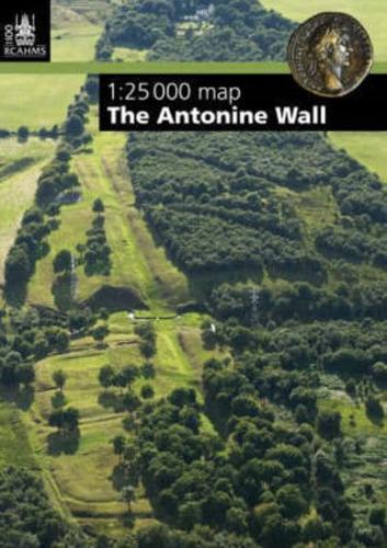
The Antonine Wall is the UK's newest UNESCO World Heritage Site. Officially selected at the meeting of the World Heritage Committee in Quebec, the Wall is now part of the Frontiers of the Roman Empire World Heritage Site alongside Hadrian's Wall and the German limes. Built across central Scotland in the mid 2nd century AD on the orders of the Emperor Antoninus Pius, the Antonine Wall marked the north-western frontier of the Roman Empire. Running for 60km from modern Old Kilpatrick on the north side of the River Clyde to Bo'ness on the Firth of Forth, it consisted of a turf rampart fronted by a deep ditch, with forts linked by a road called the Military Way. It was through the gates of these forts and fortlets that many Roman goods passed into the lands of Caledonia beyond. The Royal Commission on the Ancient and Historical Monuments of Scotland (RCAHMS) has worked with Historic Scotland on the nomination to produce a map of the Antonine Wall, showing its course on a modern base at a scale of 1:25,000 and including areas where it can be visited. The Map highlights elements of the archaeology of the monument, provides additional information on related museums and reading, and is the essential resource and companion for anyone interested in visiting and studying the Antonine Wall.