
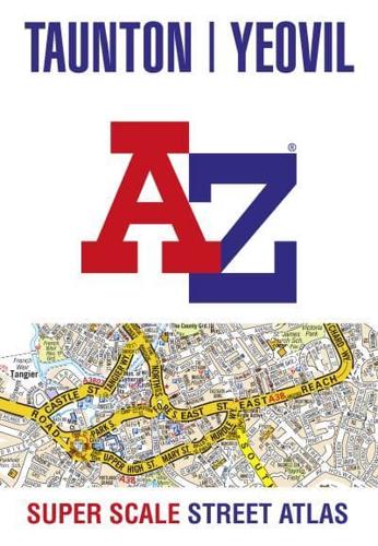
Publisher's Synopsis
A-Z street map of Taunton, Bridgwater and Yeovil with 34 pages of coloured road maps extending to these areas:
Bishops Lydeard, Cannington, Cotford St. Luke, Creech St. Michael, North Petherton, Norton Fitzwarren, Puriton, Trull, Woolavington, Wellington, Westonzoyland.
Postcode districts, one-way streets and tourist features are featured on the street mapping.
The index section lists streets; selected flats, walkways and places of interest; place, area and station names and hospitals and hospices covered by this street atlas.
Main map scale 1:11 480 - 5.5 inches to 1 mile - 8.7 cm to 1 km


