
Publisher's Synopsis
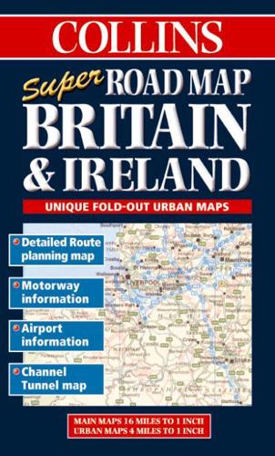
1:1m 16 miles to 1 inch with 4 miles to1 inch urban areas Full colour road map with larger scale urban area maps on the reverse, designed to be used almost like a road atlas. MAIN FEATURESA superb route planning map on one side with detailed urban maps on the reverse. The product has an unique fold pattern which treats the urban mapping like road atlas pages and makes it much easier to use in the vehicle.INCLUDES• Detailed route planning map at 16 miles to 1 inch• Urban areas at 4 miles to 1 inch• Information on motorway junctions• Mileage Chart• Airport information• Channel Tunnel mapAREA OF COVERAGEThe whole of British Isles plus all the major urban areas.WHO THE PRODUCT IS AIMED ATOn the road, route planning and navigation for either business or pleasure.


