
Publisher's Synopsis
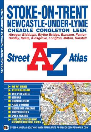
This A-Z map of Stoke-on-Trent and Newcastle-under-Lyme is a full colour street atlas featuring 38 pages of continuous street mapping which extends to include:•Alsager•Biddulph•Kidsgrove•Audley•Tunstall•Burslem•Endon•Silverdale•Hanley•Werrington•Longton•Cheadle•Blythe Bridge•Wedgwood Visitor Centre•BarlastonIn addition, there is seperate coverage of Congleton and Leek and large scale city/town centre maps of Stoke-on-Trent (Hanley) and Newcastle-under-Lyme.Postcode districts, one-way streets and safety camera locations with their maximum speed are featured on this map.The index section lists streets, selected flats, walkways and places of interest, place, area and station names, hospitals and hospices covered by this atlas.


