
Publisher's Synopsis
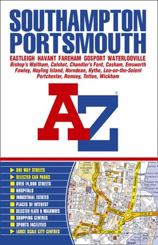
This atlas of Southampton, Portsmouth, Eastleigh, Havant, Fareham, Gosport and Waterlooville contains 190 pages of coloured street mapping that extends to include:Bishop's Waltham, Cadnam, Calshot, Chandler's Ford, Clanfield, Cowplain, Cosham, Denmead, Emsworth, Fawley, Hayling Island, Horndean, Hythe, Lee-on-the-Solent, Marchwood, Portchester, Rownhams, Southbourne, Southsea, Stubbington, Romsey, Totton and Wickham.also included are large scale city centre maps of Southampton and Portsmouth.Postcode districts and one-way streets are featured on the mapping.The index section lists streets, selected flats, walkways and places of interest, place, area and station names. There is a separate list of hospitals and hospices covered by this atlas.


