
Publisher's Synopsis
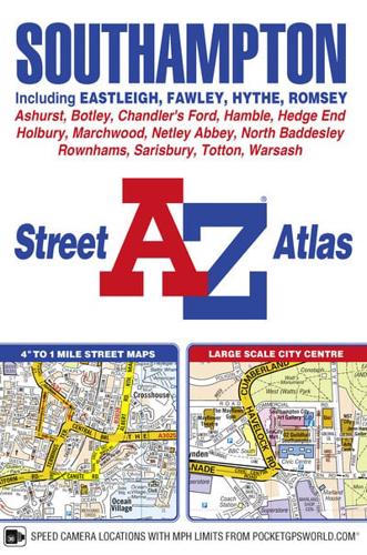
This A-Z map of Southampton features 50 pages of street mapping extending to include:•Eastleigh•Fawley•Hythe•Romsey•Southampton Airport•Totton•Chandler's Ford•Hamble-le-Rice•Hedge End•North Baddesley•Swaythling•West EndA large scale city centre map of Southampton is also included.Postcode districts, one-way streets, safety cameras with speed limits and National Park boundaries are featured on the mapping.The index section lists streets; selected flats, walkways and places of interest; place, area and station names; hospitals and hospices covered by this atlas.


