
Publisher's Synopsis
This full colour regional road atlas features 46 pages of continuous road mapping includes the whole of London and covers the counties of Buckinghamshire, Hertfordshire, Essex, east Oxfordshire, east Hampshire, Middlesex, Sussex and Kent.
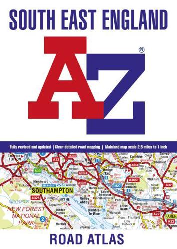
Published at a clear 2.5 miles to 1 inch the following features are shown on the road mapping:
- Motorways with full junction detail, primary routes and destinations, A & B roads, under construction and proposed roads, service areas, tolls, mileages, county and unitary authority boundaries
- South Downs National Park boundary
- Selected places of interest and tourist information centres
- 21 city, town, airport or port plans for:
Brighton & Hove, Canterbury, Dover, Eastbourne, Folkestone, Guildford, London, Medway Towns, Milton Keynes, Oxford, Portsmouth, Reading, Southampton, Winchester, Windsor, Gatwick Airport, Heathrow Airport, Luton Airport, Stansted Airport, Newhaven Port, Portsmouth Port
The comprehensive index section lists cities, towns, villages, hamlets and locations covered by this atlas.


