Publisher's Synopsis
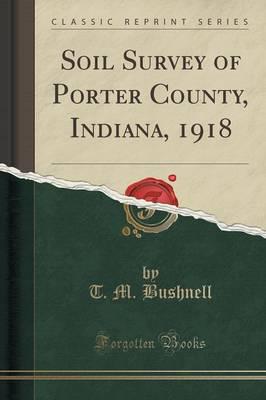
Excerpt from Soil Survey of Porter County, Indiana, 1918
Porter County, Ind., is located in the northwestern corner of the State, about 40 miles from Chicago. It is bounded on the west by Lake County, on the south by Jasper County, from which it is sepa rated by the Kankakee River, on the east by Laporte County, and on the north by Lake Michigan.
The county has an area of 415 square miles, or acres. It is roughly rectangular in shape, with a uniform width east and west of 15 miles and a maximum length of about 34 miles, the northern and southern boundaries being irregular.
Porter County has three main physio graphic divisions: (1) the plain of glacial Lake Chicago, (2) the Valparaiso morainic system and associated till plains, and (3) the outwash plain and lake plain of the Kankakee Basin.
About the Publisher
Forgotten Books publishes hundreds of thousands of rare and classic books. Find more at www.forgottenbooks.com
This book is a reproduction of an important historical work. Forgotten Books uses state-of-the-art technology to digitally reconstruct the work, preserving the original format whilst repairing imperfections present in the aged copy. In rare cases, an imperfection in the original, such as a blemish or missing page, may be replicated in our edition. We do, however, repair the vast majority of imperfections successfully; any imperfections that remain are intentionally left to preserve the state of such historical works.


