
Publisher's Synopsis
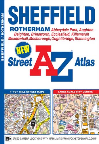
This A-Z map of Sheffield is a full colour street atlas featuring 50 pages of continuous street mapping which extends to include:•Aston•Brinsworth•Hackenthorpe•Handsworth•Killamarsh•Mosborough•Oughtibridge•Parson Cross•Rotherham (part)•Stannington•TotleyA large scale city centre map of Sheffield is also included.Postcode districts, one-way streets, Supertram stops and safety camera locations with maximum speeds are featured on the street maps.The index section lists streets; selected flats, walkways and places of interest; place, area, railway station and Supertram stop names; hospitals and hospices covered by this atlas.A rail and Supertram connections map is printed on the inside back cover.


