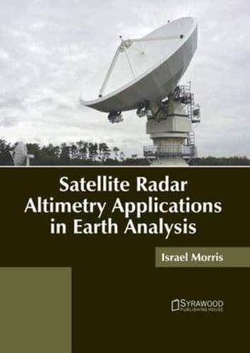
Publisher's Synopsis
Satellite radar altimetry refers to a technique that is used for calculating the vertical distance between a satellite and the nadir surface of the Earth by monitoring the time it takes for radar pulses to travel from the satellite antenna to the surface and back to the altimeter. It enables accurate remote sensing of the topography of the ocean's surface. Satellite altimetry is utilized in geodesy to investigate sea-level variability, tectonic plate motion, natural hazards, size and form of the Earth, inland water-related occurrences and Earth's gravity field over oceans. Satellite radar altimetry is also used widely in Earth analysis for regional and global geoid modeling, monitoring ice sheet melting, unifying vertical height systems, and observing the effects of sea level rise. This book aims to shed light on the applications of satellite radar altimetry in Earth analysis. A number of latest researches have been included to keep the readers up-to-date with the global concepts in this area of study.