
Publisher's Synopsis
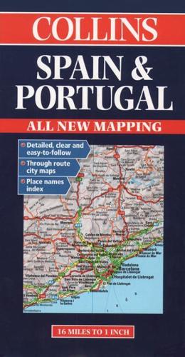
New edition featuring digital mapping from the Bartholomew European Database. Scale 1: 1,000,000 (1cm to10 kms) 1 inch to 16 milesEDITIONNew edition featuring digital mapping from theBartholomew European Database.MAIN FEATURESFully classified road network with road numbers,motorway services, road distances, and ferry routes.Attractive hillshading to indicate relief. Throughroute town plans.INCLUDESThrough route maps of Barcelona, Madrid, Sevilla,Valencia and Lisboa. Index to place names on reverse of the sheet.AREA OF COVERAGEAll of Spain and Portugal from the Pyrenees to the Straits of Gibraltar and including the Balearic Islands.WHO THE PRODUCT IS AIMED ATTourist, motorist and anyone planning to travel in Spain or Portugal.OTHER PRODUCTS IN THE SERIESFranceItaly.


