
Publisher's Synopsis
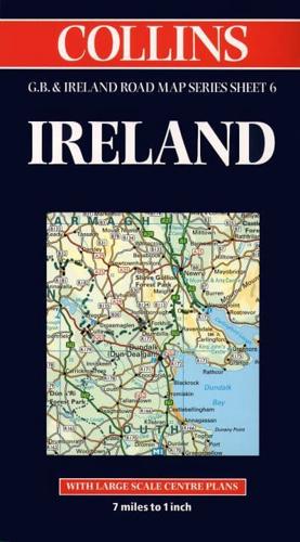
1:440,000 7.2 miles to 1 inch The Ireland sheet of a 6 sheet series of the British Isles. This sheet covers the whole of Ireland.MAIN FEATURES• New Collins mapping with hillshading• Clear, colourful mapping at 7.2 miles to 1 inch• Centre plans of Dublin, Belfast, Cork and Limerick• Full index to place names• All roads colour classifiedINCLUDES• Places of tourist information included• Ferry routes & airports shown• Distances shown on roadsAREA OF COVERAGECovers the whole of IrelandWHO THE PRODUCT IS AIMED ATThis map is ideal for wall mounting or for use in the vehicle and is suitable for both business or pleasure motoring.OTHER PRODUCTS IN THE SERIESThis map is part of a 6 sheet series covering the whole of Britain & Ireland. The other maps in the series are:Sheet 1. Southern England - 0 00 448819 9Sheet 2. South West England & Wales - 0 00 448820 2Sheet 3. Northern England - 0 00 448821 0Sheet 4. Central & Southern Scotland - 0 00 448822 9Sheet 5. Northern Scotland - 0 00 448823 7.


