Road Map Great Britain and Ireland

Road Map Great Britain and Ireland Sheet 6 - Ireland

Revised edition

Sheet Map (folded) (04 Jan 2000)

Not available for sale

Includes delivery to the United States

Out of stock

This service is protected by reCAPTCHA and the Google Privacy Policy and Terms of Service apply.

Publisher's Synopsis

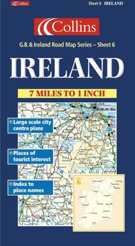
1:440,000 7.2 miles to 1 inch. The Ireland sheet of a 6 sheet series of the British Isles. This sheet covers the whole of Ireland. Updated for 2001.MAIN FEATURES• Exceptionally clear Collins mapping with layer colouring• Clear, colourful mapping at 7.2 miles to 1 inch• Centre plans of Dublin, Belfast, Cork and Limerick• Full index to place names• All roads colour classifiedINCLUDES• Places of tourist information included• Ferry routes & airports shown• Distances shown on roadsAREA OF COVERAGECovers the whole of IrelandWHO THE PRODUCT IS AIMED ATThis map is ideal for wall mounting or for use in the vehicle and is suitable for both business or pleasure motoring.

About the Publisher

Collins

Collins

Collins has been publishing educational and informative books for almost 200 years. Throughout this rich heritage we have maintained an impressive record in creating market-leading products across various sectors.

Book information

ISBN: 9780004489841
Publisher: HarperCollins Publishers
Imprint: Collins
Pub date:
Edition: Revised edition
Language: English
Weight: 123g
Height: 257mm
Width: 140mm
Spine width: 9mm