
Publisher's Synopsis
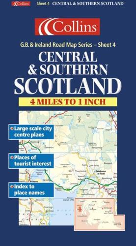
1:250,000 4 miles to 1 inch. The central and southern Scotland sheet of the 6 sheet series of the British Isles. The mapping has a wealth of detail and attractive layer colouring to show land height. Updated for 2001.MAIN FEATURES• Exceptionally clear Collins mapping with layer colouring• Extremely attractive and easy to read mapping• All roads colour classified• Includes town centre maps of Dundee, Glasgow, Edinburgh, Perth, Newcastle, Middlesbrough.INCLUDES• Places of tourist information included• Ferry routes & airports shown• Distances shown on roads• Full index to place namesAREA OF COVERAGECovers an area from Dundee in the north to below Penrith in the south, and from the Isle of Islay in the west across to Berwick upon Tweed in the east.WHO THE PRODUCT IS AIMED ATThis map is ideal for wall mounting or for use in the vehicle and is suitable for both business or pleasure motoring.


