
Publisher's Synopsis
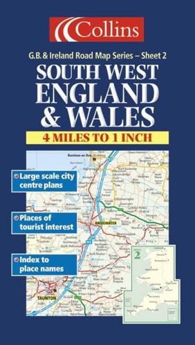
1:250,000 4 miles to 1 inch The south western sheet of a 6 sheet series of the British Isles with a high level of detail and attractive layer colouring to show land height.MAIN FEATURES• Exceptionally clear Collins mapping layer colouring• Extremely attractive and easy to read mapping• All roads colour classified• Includes town centre maps of Bristol, Exeter, Plymouth, Torquay, Cardiff and SwanseaINCLUDES• Places of tourist information included• Ferry routes & airports shown• Distances shown on roads• Full index to place namesAREA OF COVERAGECovers the whole of Wales and the south west of England. It extends as far east as Bournemouth and Worcester and in the north to Manchester and Liverpool.WHO THE PRODUCT IS AIMED ATThis map is ideal for wall mounting or for use in the vehicle and is suitable for both business or pleasure motoring.


