
Publisher's Synopsis
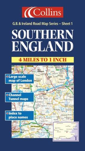
1:250,000 4 miles to 1 inch. The southern sheet of a 6 sheet series of the British Isles. The mapping is extremely detailed and has attractive layer colouring. Updated for 2001.MAIN FEATURES• Exceptionally clear Collins mapping with layer colouring• Extremely attractive and easy to read mapping• All roads colour classified• Large scale map of Central London on reverse• Channel Tunnel MapINCLUDES• Places of tourist information included• Ferry routes & airports shown• Distances shown on roads• Full index to place namesAREA OF COVERAGEExtends to Gloucester and Swindon in the west, Peterborough and Leicester in the north, to the coast in the east and south.WHO THE PRODUCT IS AIMED ATThis map is ideal for wall mounting or for use in the vehicle and is suitable for both business or pleasure motoring.


