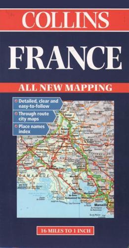
Publisher's Synopsis
New edition featuring digital mapping from the Bartholomew European Database Scale 1: 1,000,000 (1cm to 10 kms) 1 inch to 16 milesMAIN FEATURESFully classified road network with road numbers, motorway services, road distances and ferry routes. Attractive hillshading to indicate relief. Through route town plans.INCLUDESThrough route maps of Paris, Lyon, Marseille, Strasbourg, and Toulouse Index to place names on reverse of sheet.AREA OF COVERAGEAll of France from Belgium in the north to thePyrenees in the south and from the Brest Peninsulato Germany in the east, including Corsica.WHO THE PRODUCT IS AIMED ATTourist, motorist and anyone planning to travel in France.