
Publisher's Synopsis
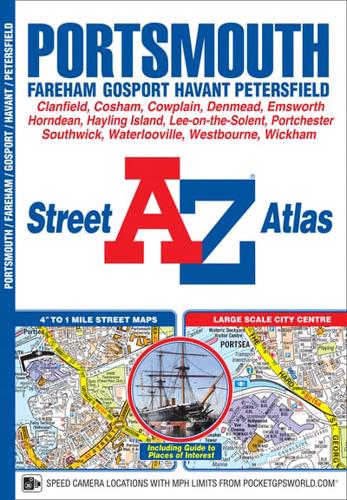
This A-Z map of Portsmouth is a full colour street atlas combining 54 pages of street mapping with a six page Guide to selected places of interest. Street map coverage includes:•FarehamGosportHavantHorndeanWaterloovilleEmsworthHayling IslandPortsea IslandCoshamLee-on-the-SolentStubbingtonPortchesterinsets of Wickham and ClanfieldPetersfeld (separate coverage)Also included is a large scale city centre map of Portsmouth.Postcode districts, one-way streets, safety camera locations with speed limits and the South Downs National Park boundary are featured on the mapping.The Places of Interest Guide is both informative and helpful, highlighting major tourist attractions in the area, from historic maritime to modern day landmarks.The index section lists streets, selected flats, walkways and places of interest, place, area and station names, hospitals and hospices covered by this atlas.


