
Publisher's Synopsis
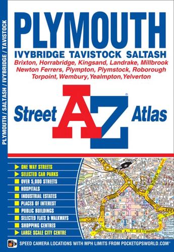
This A-Z map ofPlymouth is a full coloured street atlas featuring 35 pages of street mapping which extends to include:•Roborough•Plymouth City Airport•Plympton•Ivybridge•Yealmpton•Newton Ferrers•Wembury•Plymstock•Millbrook•Torpoint•Saltash.In addition, there is separate coverage of Tavistock, Horrabridge and Yelverton and a large scale city centre map of Plymouth.Postcode districts, one-way streets and safety camera locations with their maximum speed limit are also featured on the mapping.The index section lists streets, selected flats, walkways and places of interest, place, area and station names, hospitals and hospices covered by this atlas.


