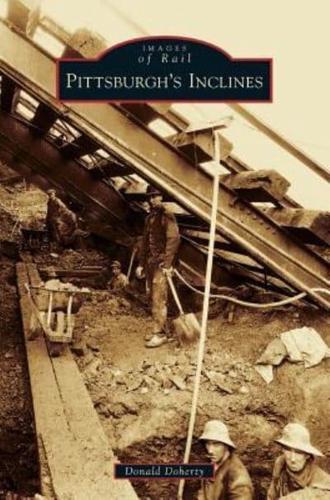
Publisher's Synopsis
These mailable vintage-photograph postcards showcase the inclines that were completed in 1870 and 1877 by real estate speculators hoping to capitalize on undeveloped land at the top of "Coal Hill," a name given due to its many coal mines. Housing in the valleys and other low-lying areas could not accommodate the influx of new residents following the Civil War. Using technology perfected to haul coal from mines, the region's first inclined railroads, or funiculars, carried people and goods and formed a part of the Allegheny Portage Railroad. By 1900, inclines were an integral part of the city's identity. During the early decades of the 20th century, however, automobiles and trucks made access to Pittsburgh's hilltops relatively easy. Before the automobile, there were at least 15 inclines in Pittsburgh. Today, there are two: the Monongahela and Duquesne Inclines. Featured images include Mount Oliver Incline, Duquesne Incline, Monongahela Inclines, Castle Shannon Incline, Penn Incline and Knoxville Incline.