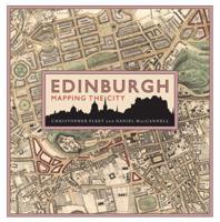
Publisher's Synopsis
This book is about the history and making of pictorial maps, a graphic art form found increasingly in newspapers, in magazines, and on television. As opposed to atlas-type maps (a pure reference form that presents information without comment or observation), pictorial maps have a specific purpose and focus. This book begins with an illustrated history of pictorial maps through the ages. Subsequent sections cover the use of pictorial maps in America, in the world, in war and its news coverage, and in reporting the weather (including the development of "USA's Today"'s trendsetting back-page weather map). The second half of the book concentrates on the map making process. It shows how to make the various kinds of map projections. Included here are the new Robinson projection, which has solved many distortion problems; the computer's use in map making; how to present mountainous terrain convincingly; pictorial symbols used in maps - even a chapter on drawing maps for friends.

