Publisher's Synopsis
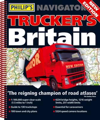
Philip's Navigator Trucker's Britain 2011 is the must-have atlas for every professional driver - a special feature of this atlas is the inclusion of over 4000 low bridges, and their height restrictions, which are clearly marked on the maps. The maps also show speed-camera locations, with their speed limits, and provide over 3000 road names as well as numbers. The atlas also includes a massive selection of 100 indexed town-centre maps, detailed approach maps to 12 major urban areas, plus route-planning maps, a distance table, and a fully comprehensive 43,000-name index.The main road maps are at 1.5 miles to 1 inch (Northern Scotland at 3 miles to 1 inch) and are extra clear and detailed, showing even the smallest roads and lanes that are omitted from other atlases. Every roundabout, junction and slip-road is shown in detail on main roads and motorways. The alpha-numeric grid is based on the National Grid, so that the atlas can be used with GPS systems, and the small-size grid squares make it easier to find locations when using the index.Philip's Navigator is widely used by professional drivers and the emergency services, including national police training, and is recommended in the motoring press and national newspapers.