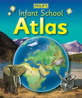

Publisher's Synopsis
Philip's Infant School Atlas is intended for children in the early stages of reading, aged between 5 and 7 years old, with simple text to explain what is happening on the maps and illustrations to the young children. The atlas contents have been designed to be compatible with National Curriculum Key Stage 1 expectations for geography, and is helpful also for KS1 history, science, citizenship and literacy.
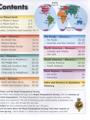
Clear, child-friendly maps are combined with fascinating photographs and facts about the world to provide essential geographical information for young children. 'Balloons' link photos of real places to each map. Guidance is given at the beginning of the atlas on how to use the maps, encouraging the early development of map skills and knowledge of the world. An index to the maps plus an illustrated glossary complete the atlas.
Each colourful spread is illustrated with fascinating colour photographs and packed with fact boxes, curiosities, flags, stamps and simple quiz questions. Philip's Infant School Atlas is both fun to use and easy to understand. The text is simple and uncomplicated, and will encourage early reading skills to develop in the children.