
Publisher's Synopsis
Hardback atlases are popular as gifts and also for self-purchase by heavy users such as business drivers.
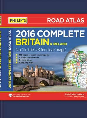
This deluxe Philip's Complete Road Atlas Britain and Ireland 2016 contains 160 pages of road maps covering Britain at 3 miles to 1 inch, with the Western Isles, Orkney and Shetland at smaller scales. The maps clearly mark service areas, roundabouts and multi-level junctions, and in rural areas distinguish between roads over and under 4 metres wide - a boon for drivers of wide vehicles.
The atlas also includes 10 pages of route-planning maps, a distance table, 10 large-scale city approach maps with named arterial roads, and 64 extra-detailed and fully indexed town and city plans.


